
Aegaea

Quick links

↑ ↓ to choose · Enter to open · Esc to closeSearch stays in your browser.

Flood Modelling for Planning

A flood model uses river flows, rainfall and coastal levels together with ground survey data to predict how deep, how fast and how far water would travel across your site. You need one where a desktop review shows the site may sit in a floodplain, where national mapping is too coarse for a site-specific answer, or where there is no model of the watercourse at all. Aegaea has been building flood models since 2012, using TUFLOW, Flood Modeller Pro, HEC-RAS and InfoWorks, for the Environment Agency, SEPA and NRW.

Flood models are required to determine the risk of flooding to a site when an initial desktop review has shown the site may be located within a floodplain.

When Are Flood Models Required?

Flood models are required to determine the risk of flooding to a site when an initial desktop review has shown the site may be located within a floodplain. This may be due to:

  • The site being located within Flood Zone 2 or Flood Zone 3
  • A watercourse within close proximity of the site
  • The site shown as being at risk from surface water flooding.

Detailed modelling is often needed for detailed planning applications where national scale mapping is either not available, or not fit for purpose.

Flood modelling can bridge the gap to ensure your planning application has the most accurate data to gain approval. Aegaea are experts in integrated catchment modelling, fluvial flooding, hydrology and flood risk and can advise on flood modelling anywhere in the UK and internationally.

Does a flood model of this watercourse already exist?

The answer may well be yes. If your site is located in an urban area or by a significant watercourse, the Environment Agency may already hold a hydraulic model that can be utilised to inform a site-specific assessment of risk. Aegaea will submit a request to the Environment Agency, obtain a copy of this model for you (if available) and review it to ensure it is suitable for use in a Flood Risk Assessment and identify any areas of improvement required to ensure a smooth journey through planning.
Cost and timing

A quote based on your site

Before we quote, we check what flood information already exists for your site, including whether the Environment Agency, SEPA or NRW hold a model of the watercourse, and whether it can be reused or needs updating. That shapes the scope, any surveys needed and how long the work is likely to take. Your quote sets out the fee, what is included and any exclusions, so you know what you are agreeing to before appointing us.

Quotes are free and with no obligation.

  1. Tell us about the project

    An address and a short description give us enough to begin. Plans, surveys or planning comments are helpful if you have them.

  2. We check the existing data

    We find out whether a model already exists and explain whether it can be reviewed, updated or whether a bespoke model is needed.

  3. Model and explain the results

    Once appointed, we run the modelling and talk you through what the results mean for your design and planning application.

Common questions

Here are answers to common questions about this work. If you would like to discuss your own site, we can help you work out what is needed.

Modelling can help when existing information does not give enough detail for your site or design. We review what is available first and explain whether an existing model can be used, needs updating, or should be replaced.

Depending on the catchment and risk source, Aegaea builds 1D, 2D and linked 1D-2D models using industry-standard tools, then reports depths and extents for the design event with the relevant climate change allowance for England or Scotland.

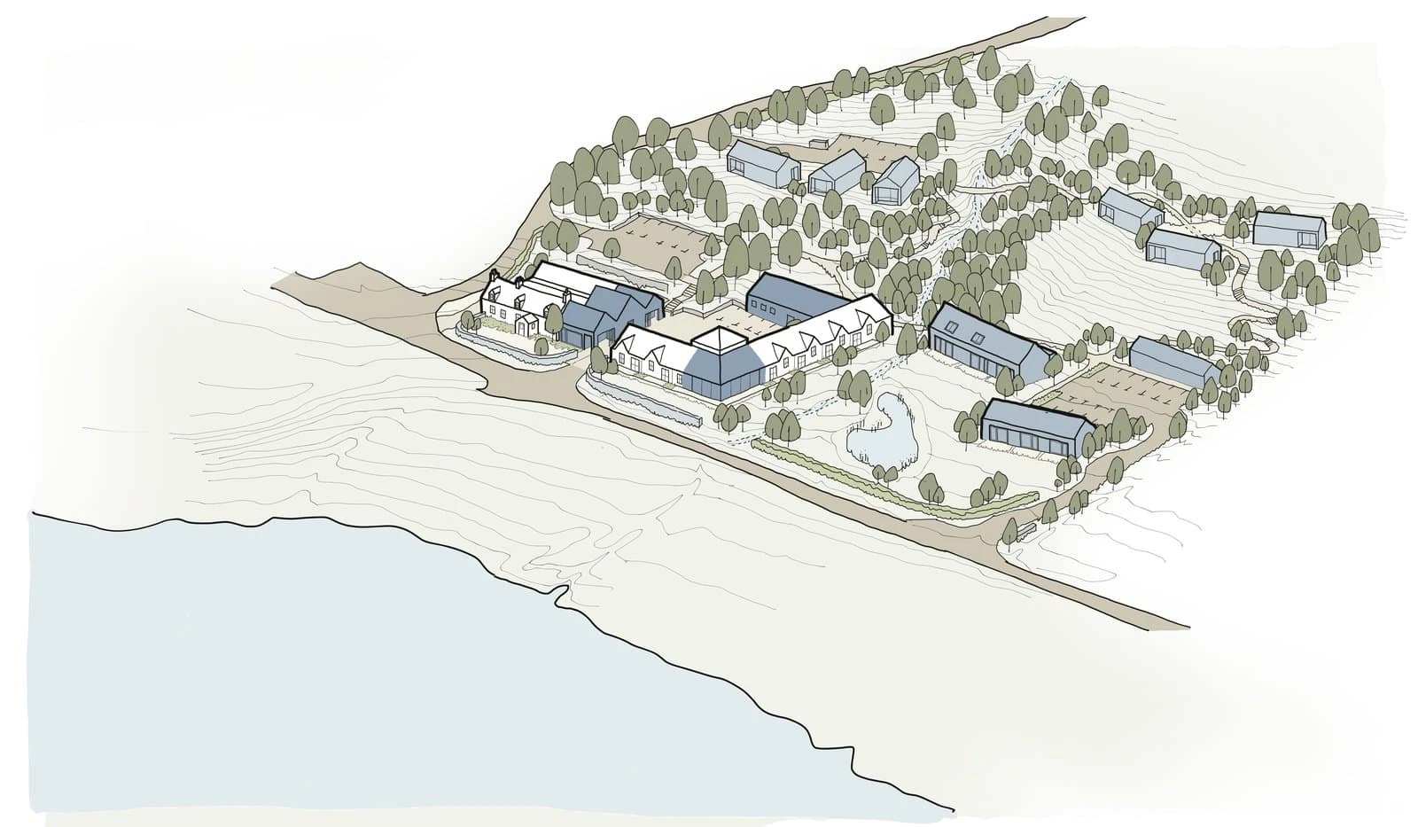
Model outputs underpin the FRA, Sequential / Exception Test evidence where needed, and responses to EA or SEPA objections. The Three Chimneys case study is one example where modelled extents supported withdrawal of a SEPA objection.

Client feedback

What it’s like to work with us

Read all reviews on REVIEWS.io ↗

Flood Modelling for Planning

Need flood modelling for your site?

Send us your site address and what you’re planning. We’ll check what flood information already exists, explain what modelling you need, and send a free, no-obligation quote.

Newsletter

Stay ahead of flood risk and planning changes

  • Policy and flood map changes, explained in plain English
  • Practical guidance for your next planning application
  • New projects and lessons from our consultants

No spam. Unsubscribe any time. By signing up, you agree to receive our newsletter and occasional updates. See our privacy policy for how we use your data.

Read the latest update →