Aegaea

Quick links

↑ ↓ to choose · Enter to open · Esc to closeSearch stays in your browser.

Flood Risk Assessments for Agricultural Land

The flood risk policy for agricultural land is the same as anywhere else. If your site sits in Flood Zone 2, 3 or a Critical Drainage Area you need a Flood Risk Assessment, and in Flood Zone 1 you need one if the site is a hectare or larger. What makes agricultural sites more complex is scale and vulnerability classification, since farm buildings and uses can fall almost anywhere on that scale. Aegaea has supported agricultural projects across the UK including barns, stables, greenhouses, solar farms, fisheries, campsites and conversions to residential.

Do I need an FRA for agricultural land?

The policy in the UK is the same whether your land is agricultural or not. If your site is within Flood Zone 2 or 3, or it’s within a Critical Drainage Area, your development will require a Flood Risk Assessment (FRA) no matter where it is in the UK. If your project is within Flood Zone 1, you’ll only be required to have an FRA with your planning documents if your site area is equal to or greater than 1 hectare.

However, your local authority may want you to get an FRA anyway, so it’s always best to check at the start of your design phase to prevent any costly changes from happening further down the line. We always recommend bringing on a flood consultant at the conception stage.

This will give you the knowledge you need to understand where to best place your buildings or development on your site in order to comply with policy regulations while building appropriate mitigation measures from the start rather than needing costly design changes at the last minute.

Agricultural land and buildings can range across all vulnerability classifications according to the National Planning Practice Guidance.

This is another reason to get a flood risk consultant on your project early - there are some very strict guidelines on what is and isn’t allowed according to their vulnerability.

Your consultant can best advise you from the start if your project is viable and whether it’s worth investing in, or if it needs to be moved elsewhere.

You may also need a sequential test or an exception test to gain planning approval.

Your flood risk consultant can support you with this.

FRAs On Agricultural Land - Our Project Experience

Our team has supported projects across the country on numerous agricultural projects, such as:

  • Barns - storage of equipment / livestock and feed
  • Horse Manège/ Stables
  • Greenhouses – supporting the growth of food/produce and horticulture.
  • Management of land, including soil transfer to reduce the extent of flooding on fields and support greater use by livestock in winter months.
  • Development of the land to support Solar Farms and other activities to generate electricity.
  • Development of the land to Residential Development
  • Creation of lakes for fisheries as well as other leisure and recreational activities
  • Change of use to provide campsites.

No application is the same. Each assessment we do is unique, especially the approach and methods applied to each development.

How our team can support your Agricultural FRA

The scale of development on agricultural sites can be much larger compared to other types of development. This means one site may potentially contain multiple sources of flooding, a range of flood risks, and need vastly different mitigation measures. Aegaea has experience in dealing with this level of site scale and complexity.

Our team has experience in supporting 1,000 projects across England and welcome the opportunity to support you with your project. We can work from the pre-planning stages through to submission of the application advising on the design, layout, and mitigation measures of development.

If you are proposing a development or submitting a planning application on agricultural land and not sure if you require a flood risk assessment or which flood zone you are located in, contact our team via the form below and we’ll give you a call and advise you on what you need.

From our projects

See our work in practice

A project from our water team.

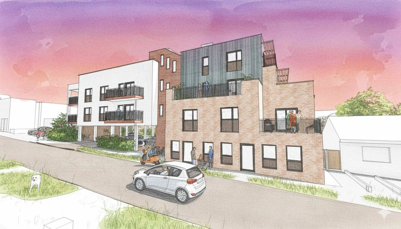
Managing Complex Surface Water Flood Risk at the Dew Drop Inn Redevelopment

Read the case study

Common questions

Here are answers to common questions about this work. If you would like to discuss your own site, we can help you work out what is needed.

In England, a FRA is required when the development or site is located in Flood Zone 2 and 3 according to the Environment Agency flood map for planning. An FRA is also required if the Site is in Flood Zone 1 when it is equal to or greater than 1 hectare in size or if it’s located within a Critical Drainage Area, regardless of its size.

Even with this in mind, the National Planning Policy Framework requires an FRA to be used to assess all sources of flooding. Therefore, an FRA could be requested even if your site doesn’t fit these requirements. Especially if there is a history of flooding, such as from a sewer or reservoir.

If your site is within 20 meters of an Environment Agency (EA) Main River, it’s also highly likely you’ll be required to provide an FRA with a particular focus on the EA Guidance.

Use the Environment Agency’s Flood Map for Planning, which is free to access. You define your site boundary and it returns the flood zone classification, along with surface water and climate change data. In Scotland, use SEPA’s flood maps; in Wales, the Flood Map for Planning published by Natural Resources Wales.

On the EA map, light blue shading is Flood Zone 2 and dark blue is Flood Zone 3. Either means your site is at risk of flooding and a Flood Risk Assessment will be required. An application submitted without one will likely be rejected, so it is worth checking at the idea stage rather than after the design is fixed. Finding out late can mean costly changes, from raising floor levels to relocating buildings on the site.

Bear in mind the maps show risk from rivers and the sea. They do not show Flood Zone 3b, and they will not tell you about groundwater or sewer flooding, so a clear result does not always mean no assessment is needed. Plenty of sites outside Flood Zones 2 and 3 still require an FRA.

Being in a flood zone does not end your development plans. Our team has supported many complex projects, including large developments in Flood Zone 3b, the highest risk classification in the English planning system. If you are unsure which flood zone your site falls in, or whether the project is viable, get in touch.

Flood zones classify land by the annual probability of river and sea flooding. They are defined in Annex F, table 1 of the NPPF and mapped by the Environment Agency on the Flood Map for Planning. Flood Zone 1 is less than 0.1%. Flood Zone 2 is between 1% and 0.1% from rivers, or 0.5% and 0.1% from the sea. Flood Zone 3a is 1% or more from rivers, or 0.5% or more from the sea. Flood Zone 3b, the functional floodplain, is where water has to flow or be stored in floods, identified by the council in its strategic flood risk assessment.

There are a lot of different parameters that can influence the time it takes to complete an FRA. Each project is unique and has different flood risks, designs, environmental conditions, topography, historic uses, and are subject to different planning policies. All of these can affect the time it takes for a flood risk assessment to be completed. The industry standard for an FRA is around 4 to 6 weeks.

Our team, however, have experience in supporting over 1,000 projects and have developed methods and techniques to analyse data efficiently and effectively review every aspect in a timely manner. On average, our FRA reports take 5 to 10 working days once we have received the necessary data.

Client feedback

What it’s like to work with us

Read all reviews on REVIEWS.io ↗

Flood Risk Assessments for Agricultural Land

Get a quote for your site.

Tell us where your site is and what you’re planning. We’ll explain what’s needed and send a free, no-obligation quote.

Newsletter

Stay ahead of flood risk and planning changes

  • Policy and flood map changes, explained in plain English
  • Practical guidance for your next planning application
  • New projects and lessons from our consultants

No spam. Unsubscribe any time. By signing up, you agree to receive our newsletter and occasional updates. See our privacy policy for how we use your data.

Read the latest update →

Preview: signup not connected yet.