
Aegaea

Quick links

↑ ↓ to choose · Enter to open · Esc to closeSearch stays in your browser.

Commercial / Industrial Flood Risk Assessment

Whether you're building or adapting a warehouse, an office building, or a leisure park, it's essential you take flood risk into account. Our expert flood team are able to assess your development's flooding risks across your whole site, no matter the flood zone or vulnerability classification. Where needed, we can also produce sequential tests and exception tests to better support your project.

The Importance Of Flood Risk Assessments For Commercial And Industrial Projects

We have summarised the useful and key information required to better understand how flood risk impacts your commercial development and the importance of an FRA to support your planning application.

How Does Flood Risk Affect A Commercial Or Industrial Planning Application?

Industrial and commercial projects, including manufacturing plants and warehouses, can fall under various vulnerability classifications and are, therefore, not necessarily acceptable in all Flood Zones.

Regardless of the vulnerability classification, any development within Flood Zone 2 or 3 or within a Critical Drainage Area is required to be supported by a Flood Risk Assessment (FRA). If your project site is larger than 1ha, even in Flood Zone 1, it will require an FRA.

Without an FRA, the whole planning application could be rejected at planning, especially if your industrial project involves dangerous chemicals or users on site needing access/egress to the development.

Therefore, each application must be viewed individually; no application is the same. A Flood Risk Assessment iterates this sentiment. Each assessment is done on a case-by-case basis, especially in relation to the approach and methods applied to each development.

How Can Our Team Support You?

Industrial and Commercial projects can be much larger in scale in terms of built footprint and land coverage than other types of development.

This creates additional complexities, especially when the development is considered vulnerable by the National Planning Policy Framework (NPPF).

We make sure we treat every development site as unique. Some may consist of only one flood zone, while others could consist of multiple flood zones and be affected by multiple sources of flooding. If that’s the case with your project, we would strongly recommend consulting early in the design phase of your project to understand and plan where certain types of development would be best suited.

By adopting this approach, we can support the evolution of the project. This allows us to review the local policy, creating a more acceptable design for the regulators on the first submission. In our experience, this greatly reduces the risk of having to resubmit planning applications on the basis of flooding. This reduces design costs and project timeframes and provides an added incentive due to our experience of being able to advise of costs early. In turn, this allows for project budgets to be managed and forecast more accurately.

Through our experience, our team can work from the pre-planning stages through to submission of the application advising on the design, layout, and mitigation measures of development.

If you are proposing a commercial or industrial planning application and are unsure whether you require a flood risk assessment or which flood zone you are located in, contact our team using the form below and provide us with more details about your project.

From our projects

See our work in practice

A project from our water team.

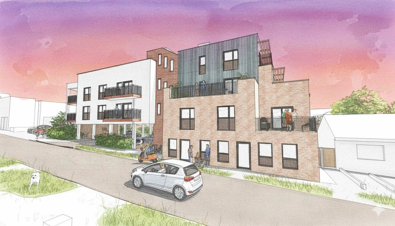
Managing Complex Surface Water Flood Risk at the Dew Drop Inn Redevelopment

Read the case study

Common questions

Here are answers to common questions about this work. If you would like to discuss your own site, we can help you work out what is needed.

A Flood Risk Assessment (also known as an FRA) is a planning document that allows clients and local authorities to assess the flood risk to a site. This allows local authorities to understand whether a development will be safe to build in its current state in relation to different types of flooding.

FRA’s are necessary for many different project sizes, from new home extensions to constructing multiple properties on a large piece of land. It assesses multiple sources of flooding to your existing and future development/site, whilst referencing National and Local Planning Policies.

The flood assessment further establishes whether any other third parties could provide comments about the development (such as; Environment Agency, Local Drainage Boards, Lead Local Flood Authority, etc).

The key outcomes of the flooding risk assessment in a basic form are;

  • Establish the risk of flooding to the site
  • Cross-reference the findings from a review of the flood data against national and local planning policy
  • Confirm what is and is not viable based on the initial data review
  • Review proposed design/layout and comment on whether the development would be acceptable for planning
  • Assess impacts onsite and offsite as a result of constructing the development
  • Advise and provide recommendations of what mitigation measures could be introduced to prevent flooding impacting the site, its future users/occupants, and whether it increases the risk of flooding elsewhere, post-construction.

It should be noted that even if a development can be shown to be mitigated from the flood risk, planning authorities still may not deem it acceptable for construction. Certain developments have stricter planning and are therefore more stringent on what is and isn’t acceptable. This is something we can advise you on upfront during our initial consultation so you’ll know if there are some additional complexities with your project or the flood zone it’s located in.

Read more about what a flood risk assessment is.

Flood zones classify land by the annual probability of river and sea flooding. They are defined in Annex F, table 1 of the NPPF and mapped by the Environment Agency on the Flood Map for Planning. Flood Zone 1 is less than 0.1%. Flood Zone 2 is between 1% and 0.1% from rivers, or 0.5% and 0.1% from the sea. Flood Zone 3a is 1% or more from rivers, or 0.5% or more from the sea. Flood Zone 3b, the functional floodplain, is where water has to flow or be stored in floods, identified by the council in its strategic flood risk assessment.

The aim of the sequential test is to steer new development to areas with the lowest risk of flooding. Development should not be allocated or permitted if there are reasonably available sites appropriate for the proposed development in areas with a lower risk of flooding. The strategic flood risk assessment will provide the basis for applying this test. The sequential approach should be used in areas known to be at risk now or in the future from any form of flooding.

The National Planning Policy Framework (NPPF) states that all plans and strategic policies informed by a Strategic Flood Risk Assessment should adopt a sequential, risk-based approach to the location of development. Inappropriate development in areas at risk of flooding should be avoided by directing development away from high-risk areas. This isn’t always possible, and when it isn’t, the development should be made safe for its lifetime, tailored to its specific use, and without increasing flood risk elsewhere.

The sequential risk-based approach to the location of development should also consider the current and future impacts of climate change. In circumstances where it is demonstrated that the site could be at risk of flooding or is currently in a flood zone, then it is necessary to apply the Exception Test, which is discussed below in greater detail.

In summary, the sequential test is required to be applied for strategic planning purposes, reviewing site allocations and the flood zones they are located within to support the Local Plan. The Sequential Test can also be applied for single planning applications. In both instances, it is encouraged that new development should be located in areas of lowest flood risk – Flood Zone 1.

If your site is located in Flood Zone 2 or 3 then it could be requested by the Local Planning Authority and Lead Local Flood Authority to produce a Sequential Test, which justifies why development of your site in a flood zone over another which is not, is preferred and should be considered.

It should be further noted that where planning applications come forward on sites allocated in the development plan through the sequential test, applicants need not apply the sequential test. This is because it has already been conducted by the Lead Local Flood Authority / Local Planning Authority.

To determine whether your development may require a sequential test, as well as a Flood Risk Assessment, please contact us. We can work with you to discuss your site, development aspirations, and how best to mitigate flood risk.

The Exception Test is necessary when a development is located in a flood zone.

The need for the exception test will depend on the potential vulnerability of the site and of the development proposed.This is in line with the Flood Risk Vulnerability Classification set out in National Planning Policy Guidance.

The Exception Test consists of two parts. Both elements should be satisfied for the development to be allocated (Development Plan) or permitted (planning application).

For the exception test to be passed, it should be demonstrated that:

The development would provide wider sustainability benefits to the community that outweigh the flood risk.

The development will be safe for its lifetime, taking account of the vulnerability of its users, without increasing flood risk elsewhere, and, where possible, will reduce flood risk overall.

A professionally written, researched and thought-out Flood Risk Assessment can add real value to your planning application. It can reduce the costs of the application process through redesign, time, and water management.

Our highly experienced team can review developments against the policy requirements and flood zones. We then utilise our industry experience and local region knowledge to ensure that we provide you with the correct answer. We do this all for a highly competitive price, with no “one size fits all” quotes.

There are a lot of different parameters that can influence the time it takes to complete an FRA. Each project is unique and has different flood risks, designs, environmental conditions, topography, historic uses, and are subject to different planning policies. All of these can affect the time it takes for a flood risk assessment to be completed. The industry standard for an FRA is around 4 to 6 weeks.

Our team, however, have experience in supporting over 4,100 projects and have developed methods and techniques to analyse data efficiently and effectively review every aspect in a timely manner. On average, our FRA reports take 5 to 10 working days once we have received the necessary data.

Client feedback

What it’s like to work with us

Read all reviews on REVIEWS.io ↗

Commercial / Industrial Flood Risk Assessment

Get a quote for your site.

Tell us where your site is and what you’re planning. We’ll explain what’s needed and send a free, no-obligation quote.

Newsletter

Stay ahead of flood risk and planning changes

  • Policy and flood map changes, explained in plain English
  • Practical guidance for your next planning application
  • New projects and lessons from our consultants

No spam. Unsubscribe any time. By signing up, you agree to receive our newsletter and occasional updates. See our privacy policy for how we use your data.

Read the latest update →