1. Importance of Topographical Survey
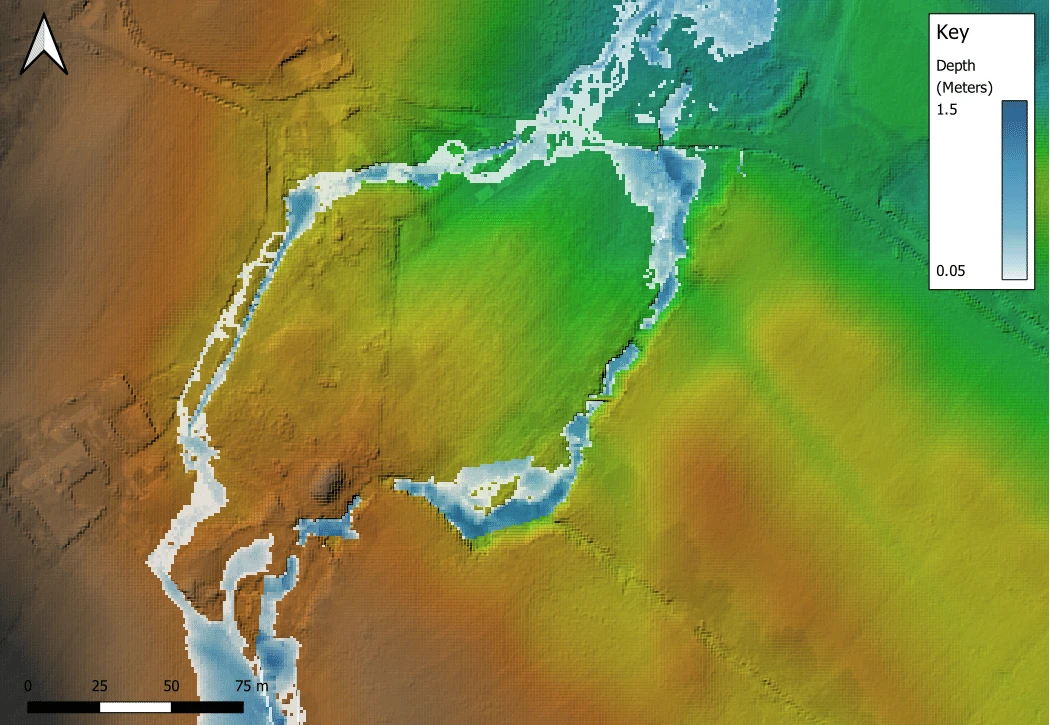
Light Detection and Ranging (LIDAR) elevation data is extremely useful for understanding existing topographical levels of your site and the surrounding landform – and is utilised often as key input data for hydraulic modelling.
The Environment Agencies’ LiDAR coverage spans the entire country – and is one of the most comprehensive elevation datasets available for England. The resolution of the Environment Agency’s LiDAR data varies depending on the survey and purpose, but it is typically provided at 0.25 m, 0.5 m, 1 m, and 2 m resolutions.
In Scotland, whilst the public LiDAR dataset is growing, it still doesn’t have complete nation-wide coverage. Some remote or rural areas may have older or lower-density LiDAR, or none at all! Most of the freely available LiDAR coverage is located within Scotland’s central belt and southern regions, with approximately 70-75% of the country having no public LiDAR coverage.
This means that for developments located in rural / upland regions of Scotland, it is even more important to obtain topographical surveys to understand existing levels on site and the geometry of key watercourses which are to be subject to hydraulic modelling.
| Data | England | Scotland | Key Takeaway |
|---|---|---|---|
| LiDAR availability | Near-nationwide coverage from Environment Agency | Partial public coverage (strongest in Central Belt & south; limited in rural/upland areas) | Scotland often requires site surveys |
| Typical resolution | 0.25m, 0.5m, 1m, 2m | Variable; patchy and often lower resolution in remote regions | Expect more uncertainty in rural Scotland |
| Need for topographic survey | Helpful but not always essential | Often essential, especially upland sites | Budget early for surveys in Scotland |
2. Blockage Justification
Hydraulic modelling to estimate the Flood Risk Area is generally required for most developments that are potentially as risk of flooding or have the potential to increase flood risk elsewhere in Scotland. As per SEPA’s definition, the flood risk area is defined as the 1 in 200 year plus climate change, plus blockage peak flood extents.
But which structure should be subject to blockage? And what blockage ratio should be used for modelling purposes.
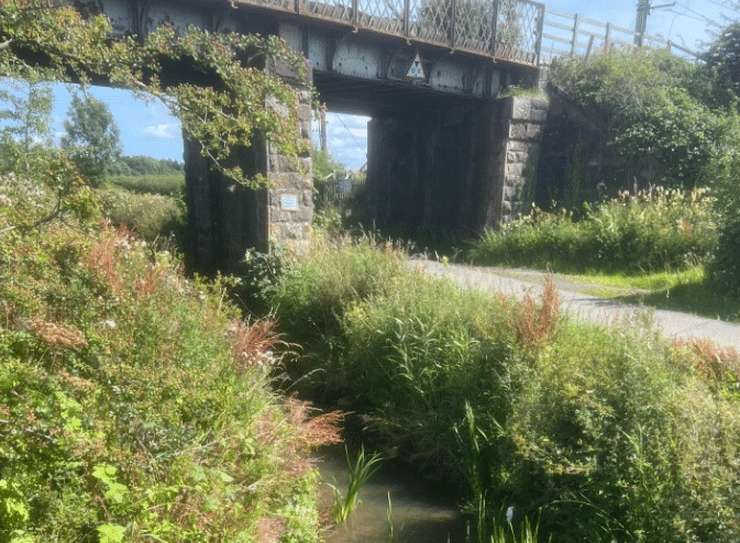
This decision rests with the modeller. SEPA and the Local Authority would expect a considered assessment to understand which structure should be subject to blockage (it can, in some instances, require multiple structures). Additionally, when determining what blockage ratio to utilise, the following must be considered:
- The size of the structure in relation to the watercourse
- Type of blockage and its potential impact
- The conditions upstream of the structure – e.g what level of vegetation is situated within proximity of the site
- The land-use practices in the vicinity of the structure– any practices that may lead to debris or materials in the watercourse
- Any anecdotal evidence available from the local authority to suggest a history of maintenance issues related to the watercourse
Justification on both the choice modelled blocked structure and blockage ratio must be presented clearly within the detailed FRA to accompany the planning application.
When comparing to similar sites in England, this isn’t a blanket requirement for all developments to define the functional flood plain, but may be required at more significant or sensitive sites. It is often still tested by the modeller as part of model proving
| Blockage Element | England | Scotland | Key Takeaway |
|---|---|---|---|
| Blockage modelling | Often applied for sensitive sites | Required as standard for 1 in 200 + CC + blockage extent | Scotland requires proactive blockage testing |
| Responsibility | EA may request | Modeller must justify structure & blockage ratio | Stronger expectation for justification in Scotland |
| Functional floodplain | Case-by-case | Standard for planning | Expect extra work in Scotland |
3. SEPA FRA Checklist
And finally, all Flood Risk Assessments must be accompanied by SEPA’s FRA checklist which can be found online. SEPA uses the FRA checklist to make sure every submission they review contains the minimum required information, and assists SEPA to point them to the relevant report sections, summarises all technical parameters at a glance (including the selected modelling methodology and software), peak derived flows and levels and details with regards to sensitivity testing, and reduces back-and-forth correspondence.
Talk to Scotland’s flood risk and hydraulic modelling experts
Hydraulic modelling and flood risk assessment in Scotland come with unique challenges compared to England, from patchy LiDAR coverage and the need for detailed topographical surveys to the proactive justification of blockage structures in modelled flood extents. At Aegaea, we specialise in navigating these complexities, ensuring that every FRA we deliver meets SEPA’s rigorous requirements while providing reliable, actionable insights for your development. Our team’s experience across Scotland means we can anticipate potential issues, streamline approvals, and support your project from concept to consent.
If you’re planning a development in Scotland and need expert hydraulic modelling or a detailed FRA, get in touch with our team today to ensure your project stays on track.