During the early stages of your project, it is vitally important that consideration is given to flood risk and understanding the Flood Risk Area.
Generally, the first port of call is to review your site against SEPA’s online fluvial flood maps, which provide an indication of the flood hazard across Scotland. However, you must be made aware that SEPA’s fluvial flood mapping has been produced at the national scale using national datasets and a consistent methodology, and should not be used for site specific assessment¹.
SEPA’s “Future Flood Maps” currently provide the closest freely available representation of the Flood Risk Area from Fluvial sources. However, there are two key factors which have not been included but are now frequently required to be addressed by both SEPA and the Local Authority:
- The updated modelled climate change allowance, and;
- Structure Blockage potential
Climate Change Allowance
As SEPA explain in their published Explanatory note², the modelled climate change allowances used for their online mapping has now been superseded by those values presented in their Climate Change Allowances for Flood Risk Planning, updated in August 2024³. The table below provides both the values modelled by SEPA as part of their online mapping dataset, and the current predictions which are required to be modelled as part of any Flood Risk Assessment:
| River Basin | SEPA Future Flood Risk Mapping – Modelled Allowance | Latest Predictions (Required for FRA) | Increase |
|---|---|---|---|
| Large Catchment ( >50km2) | Smaller Catchment ( <30km2) | ||
| North Highland | 37 | 40 | 42 |
| North East | 24 | 34 | 37 |
| Tay | 35 | 53 | 39 |
| Forth | 40 | 56 | 39 |
| Tweed | 33 | 59 | 35 |
| Orkney & Shetland | 41 | 40 | 40 |
| West Highland | 56 | 58 | 48 |
| Argyll | 56 | 59 | 46 |
| Clyde | 44 | 49 | 41 |
| Solway | 44 | 53 | 38 |
¹ https://beta.sepa.scot/flooding/prepare-for-flooding/flooding-faqs/flood-maps-faqs/ ² https://www.sepa.org.uk/media/zu0fbcv3/futurefloodmap_explanatory_note_version_4_november_2023.pdf ³ Climate change allowances for flood risk assessment in land use planning Version 5
The table above shows that for nearly all River Basins across Scotland, SEPA’s Future Flood Risk Mapping underestimate the impact of climate change in relation to current predictions. In particular for larger rivers within the Tweed catchment, in which current predictions are 26% greater to those modelled as part of SEPA’s dataset.
Blockage
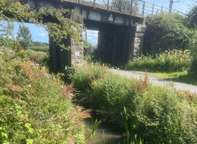
Our recent experience has shown that SEPA now considers the Flood Risk Area as the 1 in 200 Year Event, plus climate change, plus an appropriate blockage of nearby structures. SEPA recommend that a 75% blockage is applied at the critical structures to demonstrate the Flood Risk Area. However, on occasions, a 100% blockage may be requested.
SEPA do not model blockages within their online mapping dataset (with the exception of culverts larger than 50m in length), which are modelled as 100% blockages in most cases.
So if your site is shown to be located close to SEPA’s Future Fluvial Flood Risk Extent, and/or close to a structure, then there could well be areas within your site that might fall within the Flood Risk Area following a detailed FRA.
One final thing to note, is that for smaller catchments, SEPA’s modelled extents are displayed as “pluvial” flooding, rather than “fluvial” (as SEPA do not present fluvial flood extents for catchments smaller than 3.0km².
SEPA’s pluvial extents currently include no uplift for climate change, so please do get in touch if your development is shown to be located close to an area at risk of flooding, from any source.