A housing proposal with a complex planning history
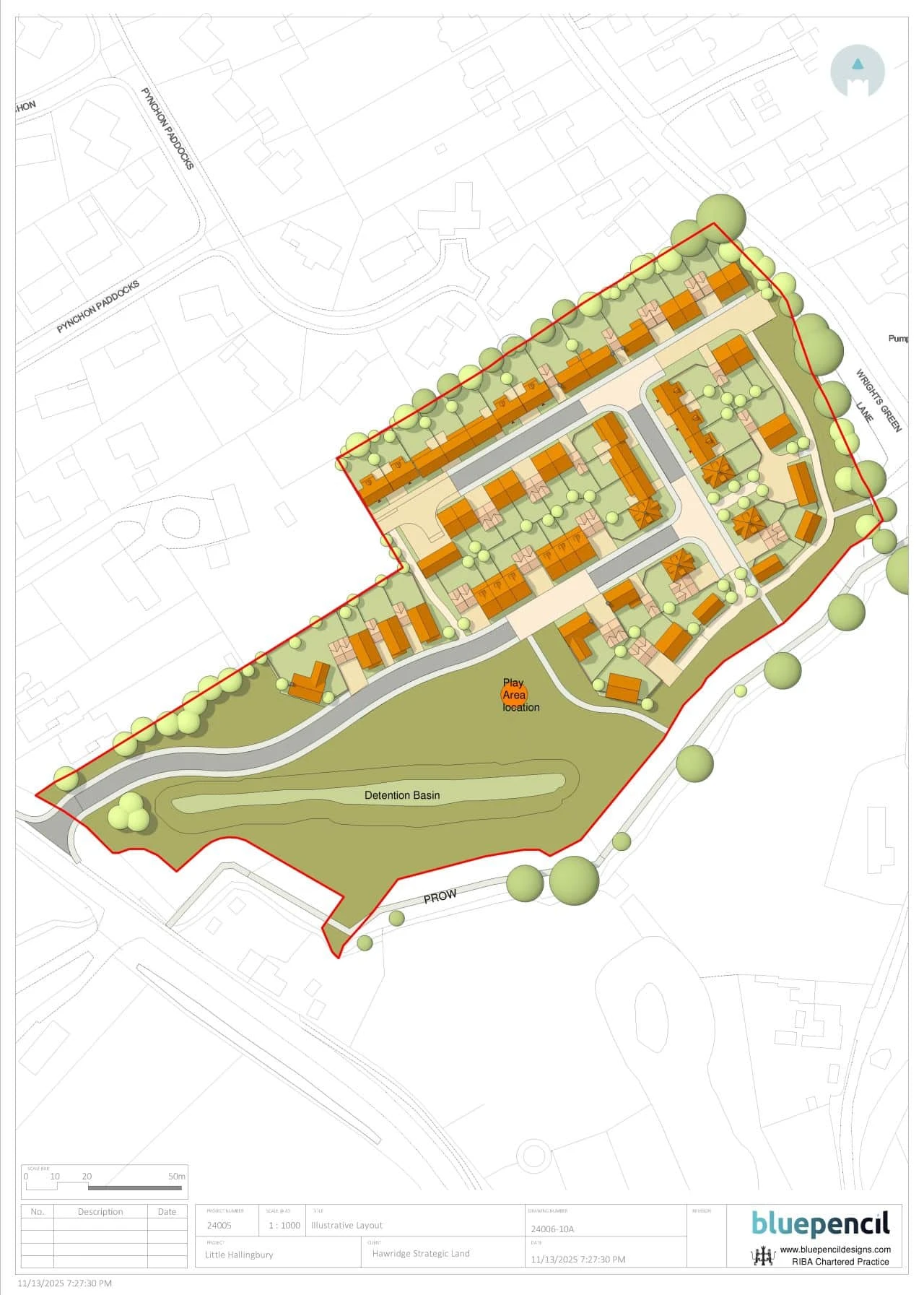
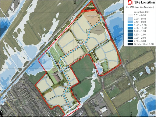
Hawridge Land brought forward the site on the edge of Beaconsfield for new homes, local infrastructure, green space and active travel routes. Flood risk and surface water drainage were part of the technical evidence needed to explain how the scheme could be delivered.
The planning process began in 2023. A public inquiry in November 2024 initially resulted in the appeal being dismissed. That decision was subsequently challenged and quashed by the High Court, leading to a second public inquiry in 2025.
Aegaea supported the flood risk and drainage work within the wider project team. These were contributions to a planning case involving several disciplines; the final decision rested with the planning decision-maker.
Understanding the site before choosing a drainage approach
Our assessment brought together information from several sources:
- Environment Agency river, sea and surface water flood mapping.
- British Geological Survey information and the local Strategic Flood Risk Assessment.
- Thames Water asset and sewer records.
- Sewer capacity checks, infiltration investigations and groundwater monitoring.
Each source helped answer a different question. Flood mapping provided context for the assessment; the drainage records and ground investigations informed the options for managing rainfall from the proposed development. A useful strategy needed to bring that information together with the emerging layout.
Turning investigations into a workable strategy
Aegaea worked with the design team to review the drainage options against the SuDS hierarchy. We also coordinated with third-party consultants to obtain the additional information needed for the surface water drainage strategy.
The work included reviewing BRE 365 infiltration investigations, groundwater monitoring and sewer information. Those investigations gave the project team a firmer basis for considering how runoff could be managed after development.
Our flood risk assessment and surface water drainage advice addressed the relationship between the proposed development, conditions on the site and flood risk beyond the boundary. The assessment concluded that the scheme could be delivered without increasing flood risk on the site or on third-party land, subject to the assessed proposals.
Supporting the project team through the appeal
Aegaea remained involved from the concept stage through the appeal process, communicating the flood risk and drainage matters to the project team. The technical work was considered alongside the other evidence supporting the development.
Following the second public inquiry, planning permission was granted. This case records that planning outcome; it does not establish that the homes or drainage infrastructure have since been built.
What this project illustrates
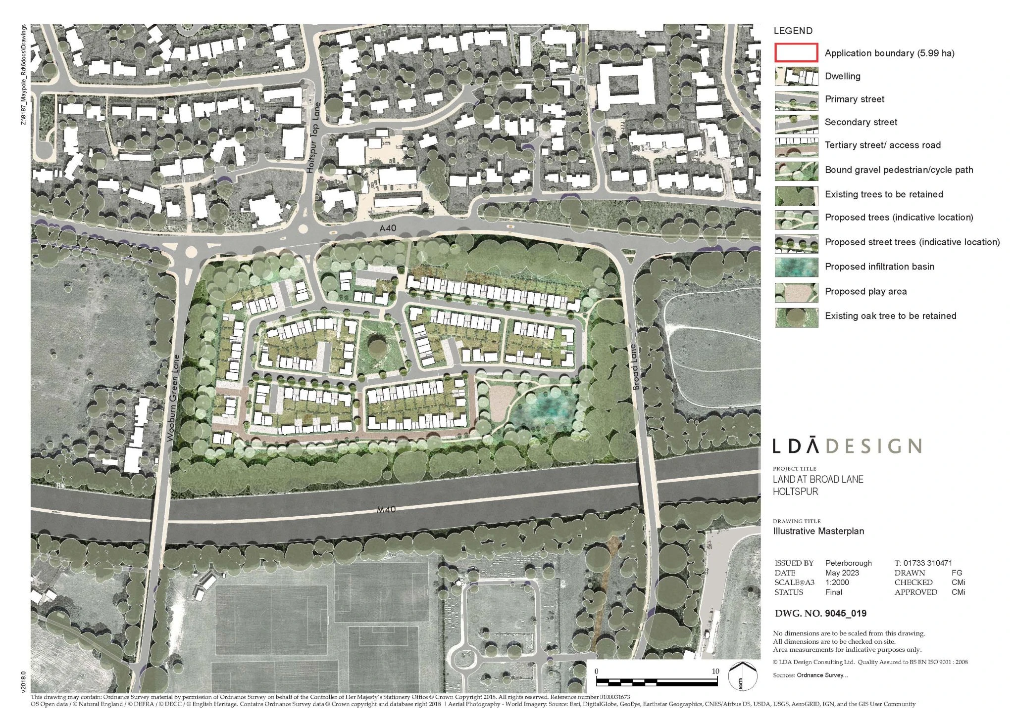
For a residential proposal, a drainage strategy needs more than a preferred system on a drawing. The project team needs evidence about the ground, available drainage routes and the effect of the development on neighbouring land. Gathering that information helps the design team make choices it can explain through the planning process.
If you are preparing a similar project, useful starting information includes the site boundary, proposed layout, available surveys and any planning correspondence. Discuss your flood risk and drainage scope with Aegaea so the investigations and reporting can be planned together.